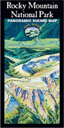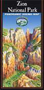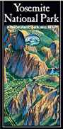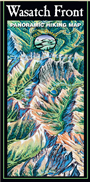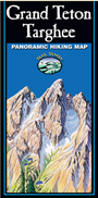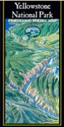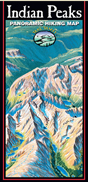
Trail Tracks: Hand Painted Panoramic Hiking Maps
Full color aerial panoramic terrain views with hiking trails color-keyed according to degree of difficulty. These water and tear-resistant maps enable hikers to visualize trails from trailhead to destination including changes in topography, vegetation, and trail connections. The maps are available in three formats: folded maps for one’s pack (4″ x 9″), or flat and flat/laminated maps for hanging on the wall (approx. 27″ x 35″). Maps hand painted by artist James Niehues (known for panoramic ski maps). Learn more about Trail Tracks’ story and the artist… They are helpful in planning and completing day hikes and backpack trips. Order now… get one for your wall and one for the pack!
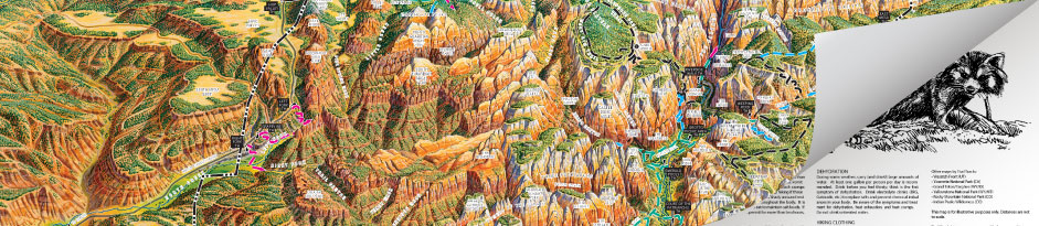
The reverse side of each map provides reference data for each trail including distance, elevation gains, and ecosystems encountered (streams, waterfalls, summits, passes, wildflower timing). Additional information is provided on wildlife, general safety, weather precautions, regulations and permit requirements. Hikers and backpackers will find Trail Tracks Hiking Maps to be a welcome resource for their outdoor experiences.
CHOOSE A MAP BELOW FOR MORE INFORMATION AND TO ORDER