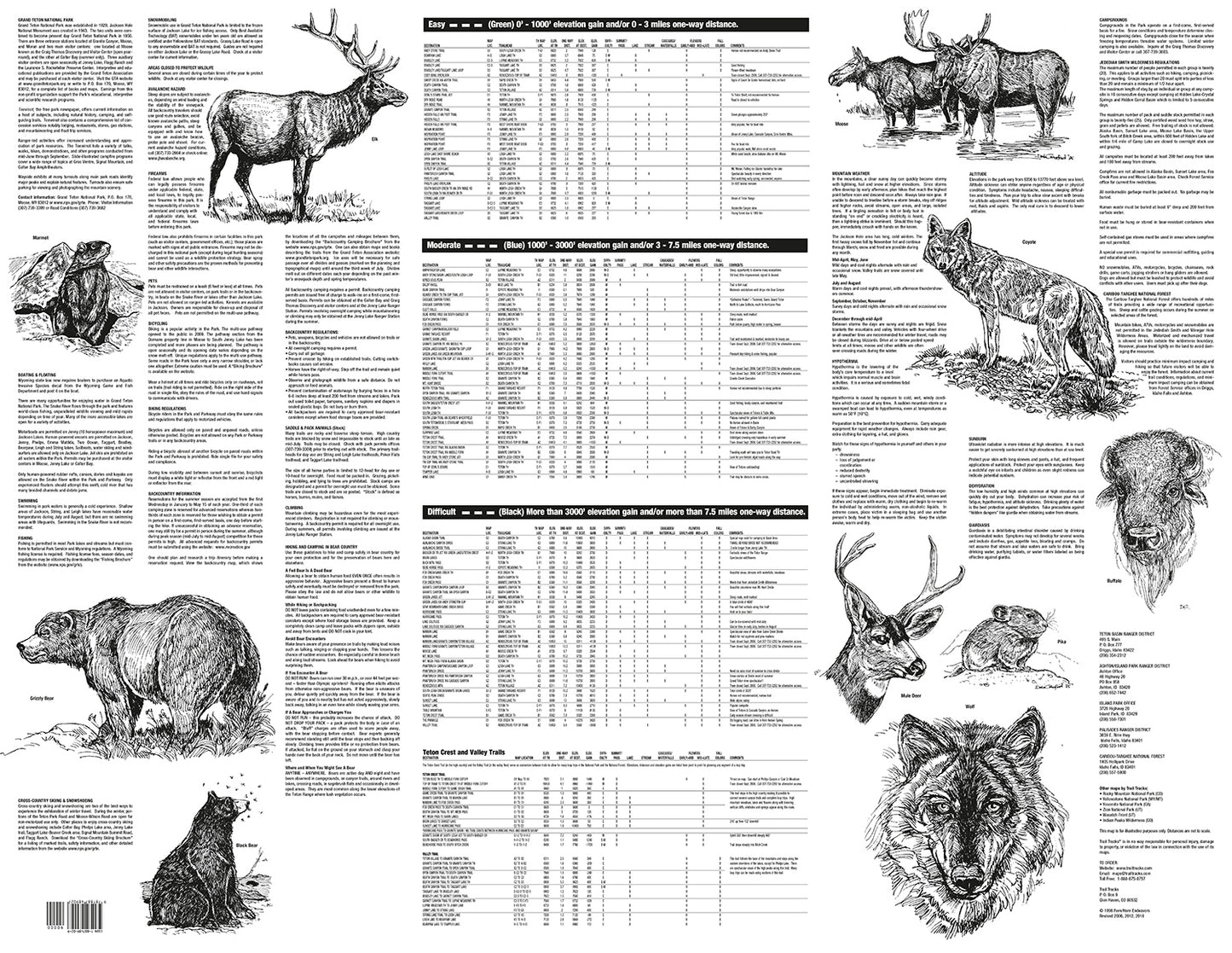
Trail Tracks maps include all of the information normally found in a full guidebook, but all on one page!
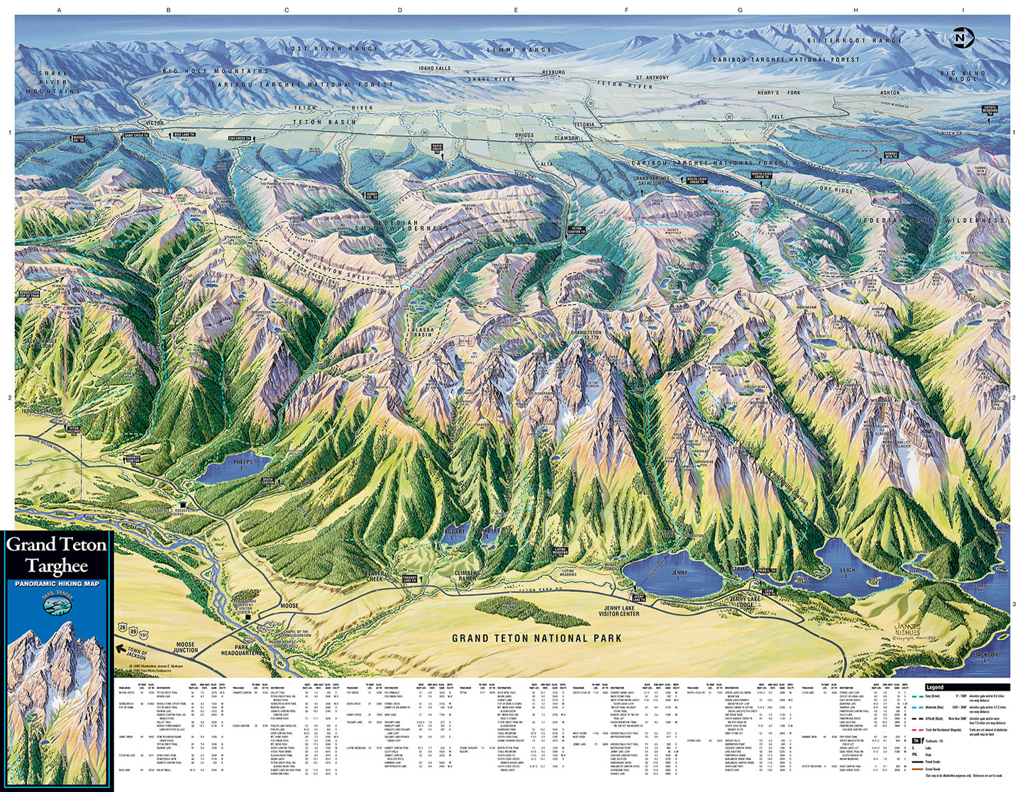
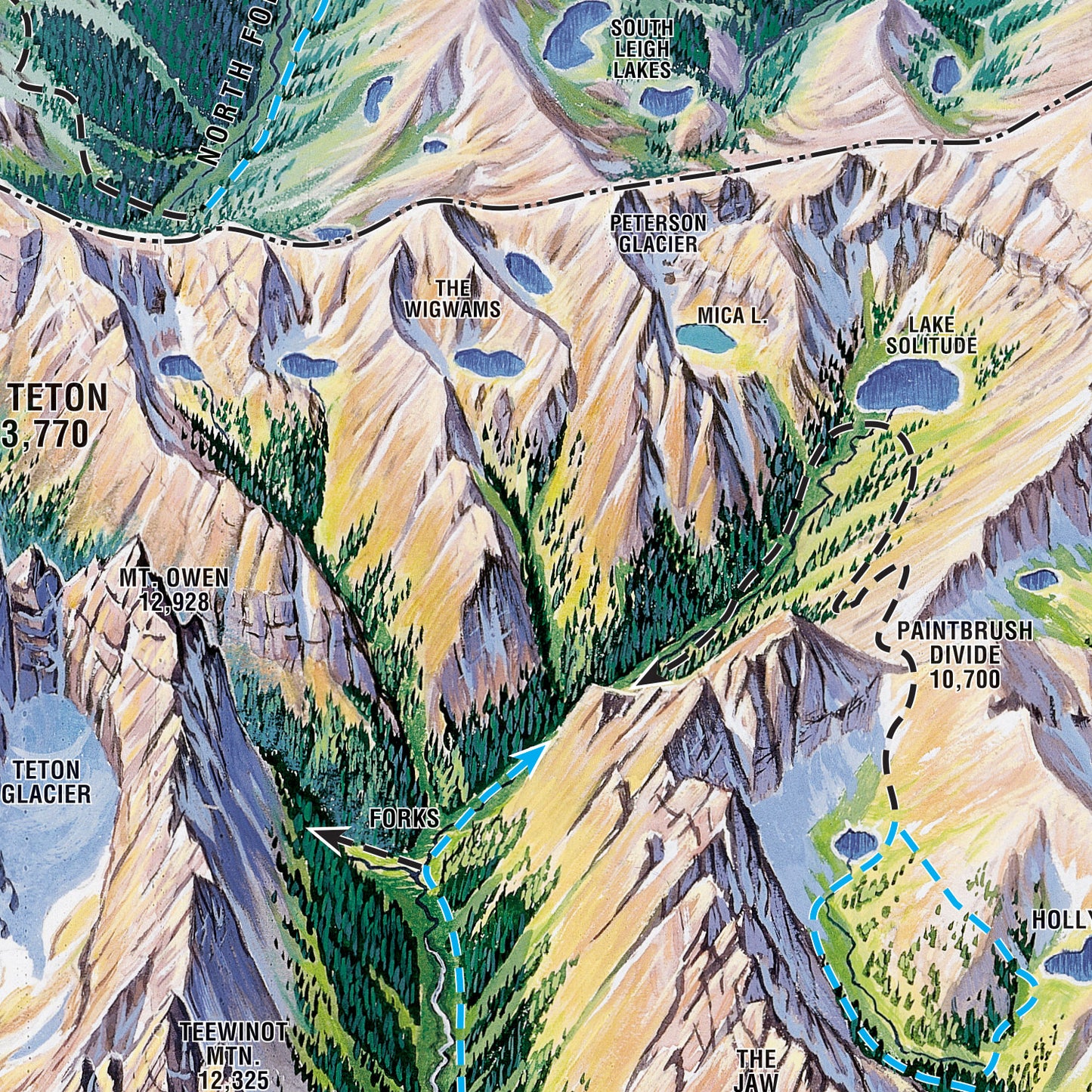
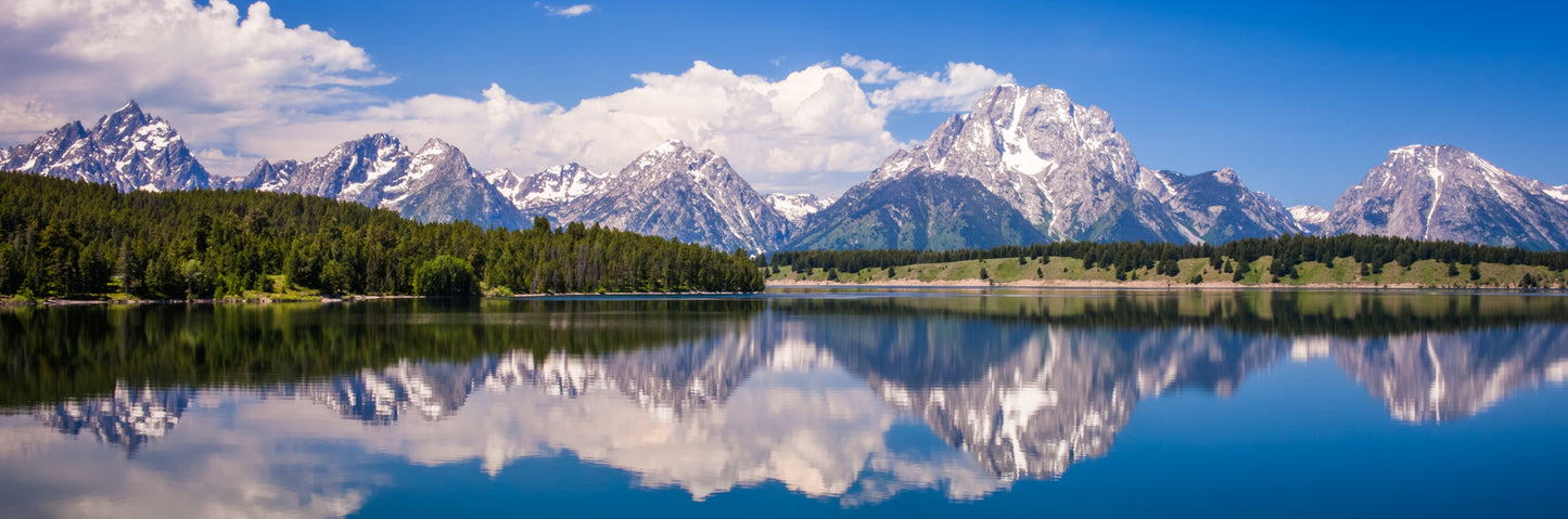
Plan your next hike in Grand Teton National Park/Caribou-Targhee National Forest with our easy-to-use visually based maps. The illustrated format lets you see where the hike is, the type of terrain it passes through, and whether it is flat or up a hill, without having to read technical map features or topographic lines - easy hike planning all in one view!
The Grand Teton and Targhee Hiking Map features:
Illustrated visual background of the Teton Range
143 hikes, from 0.5 miles to over 19 miles long
Easy organization with hike listings organized by difficulty and by trailhead
Covers from Teton Village to Jackson Lake to Driggs Idaho
Includes hikes in: Granite Canyon, Jenny Lake, Paintbrush Canyon, the Teton Crest Trail, South and North Leigh Creeks Basins, the Jedediah Smith Wilderness and more!
Water-resistant durable material is perfect for your pack!
AND...Trail Tracks will donate $1 to the Grand Teton Association for every map sold!