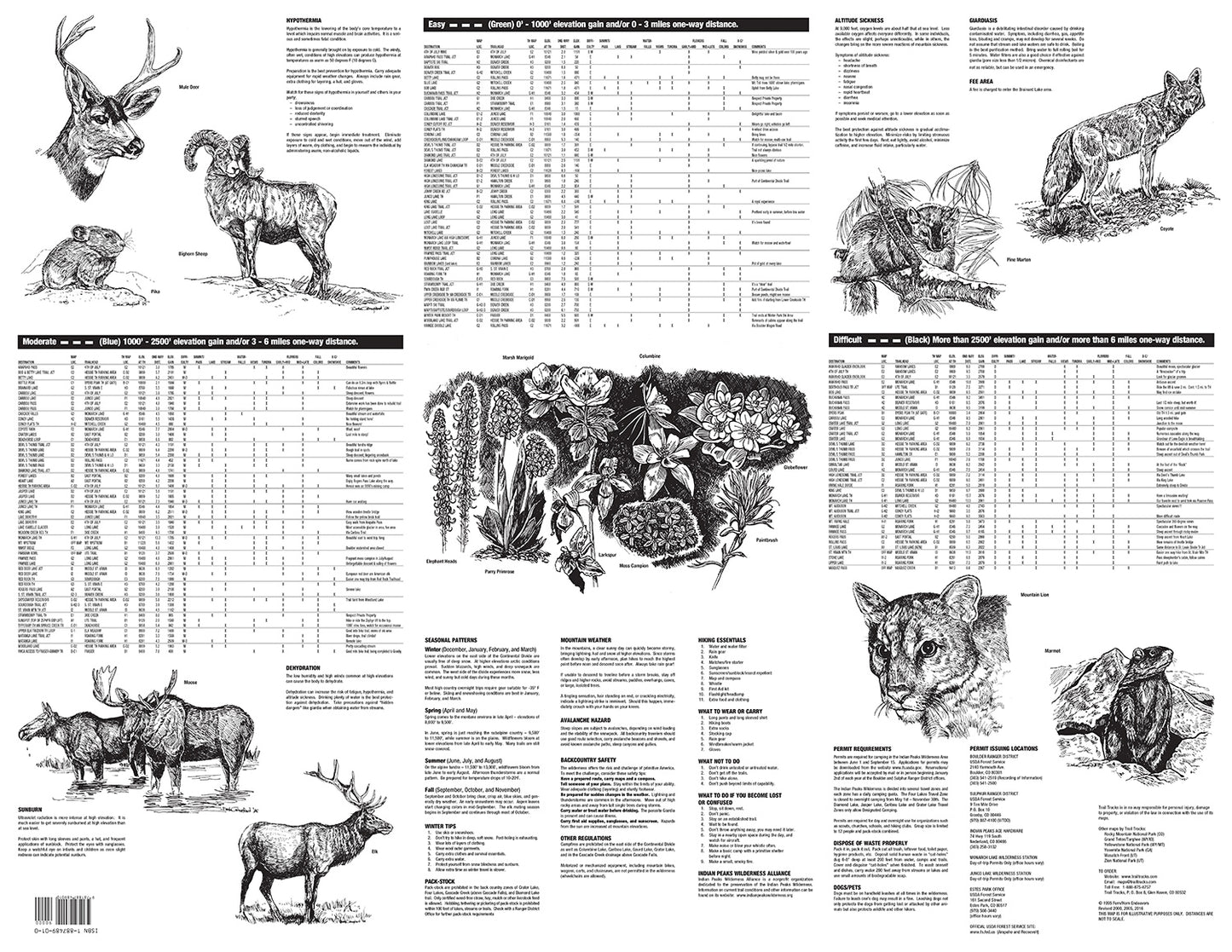
Trail Tracks maps include all of the information normally found in a full guidebook, but all on one page!
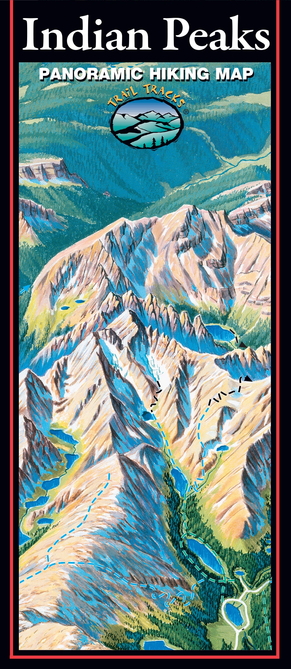
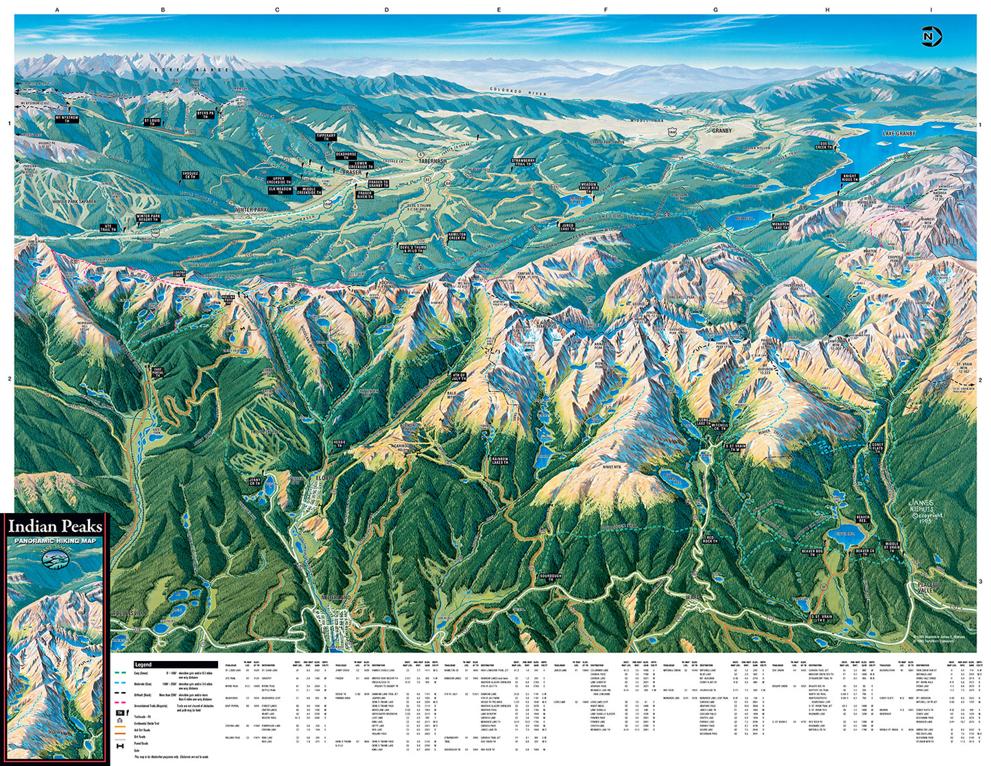
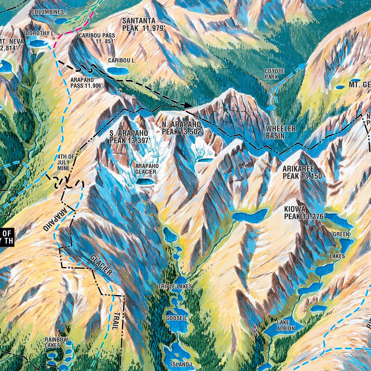
Plan your next hike in Indian Peaks Wilderness Area with our easy-to-use visually based maps. The illustrated format lets you see where the hike is, the type of terrain it passes through, and whether it is flat or up a hill, without having to read technical map features or topographic lines - easy hike planning all in one view!
The Indian Peaks Hiking Map features:
Illustrated visual background of the Indian Peaks Wilderness
150 hikes, from 0.3 miles to over 15 miles long
Easy organization with hike listings organized by difficulty and by trailhead
Covers from the south boundary of Rocky Mountain National Park to James Peak, Nederland, Rollinsville, and Winter Park
Includes hikes to: Brainard Lake, Mt. Audubon, Rainbow Lakes, King Lake, Rollins Pass, Devils Thumb Lake, Crater Lakes, Heart Lake, Rogers Pass, the Continental Divide Trail and more!
Water-resistant durable material is perfect for your pack!
AND...Trail Tracks will donates $1 to the Indian Peaks Wilderness Alliance for every map sold!