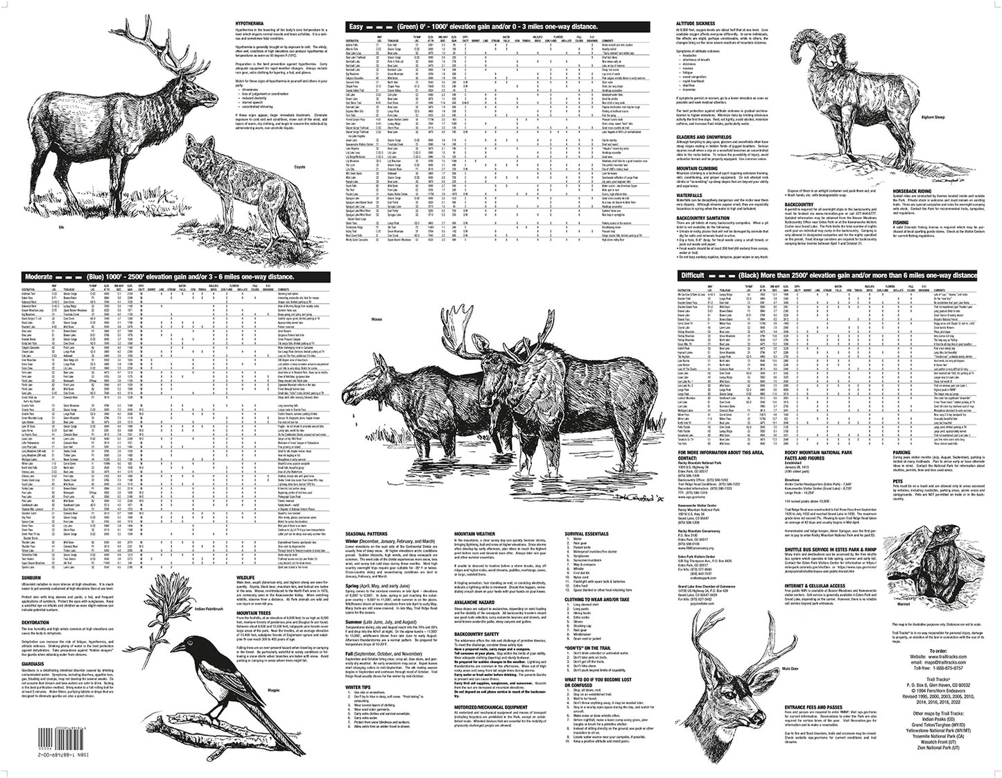
Trail Tracks maps include all of the information normally found in a full guidebook, but all on one page!
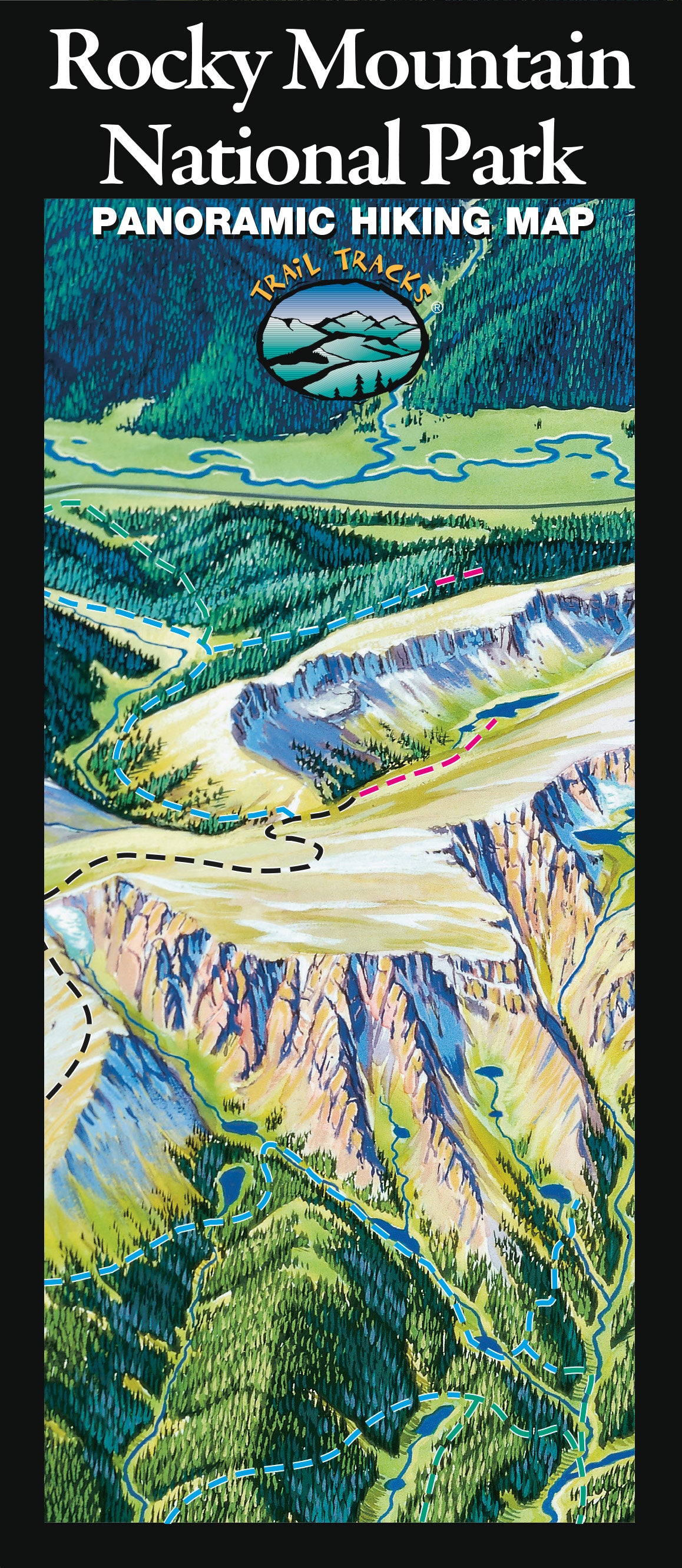
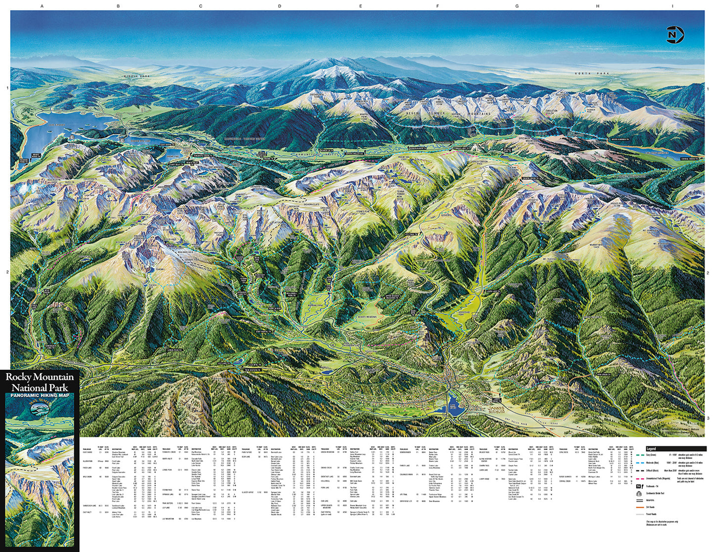
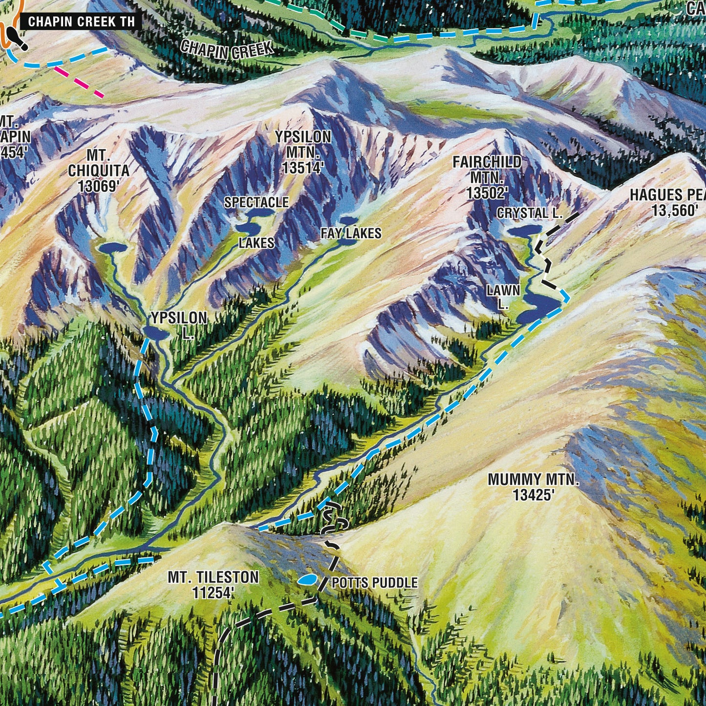
Plan your next hike in Rocky Mountain National Park with our easy-to-use visually based maps. The illustrated format lets you see where the hike is, the type of terrain it passes through, and whether it is flat or up a hill, without having to read technical map features or topographic lines - easy hike planning all in one view!
The Rocky Mountain National Park Hiking Map features:
Illustrated visual background of Rocky Mountain National Park
148 hikes, from 0.3 miles to over 18 miles long
Easy organization with hike listings organized by difficulty and by trailhead
Covers from Estes Park to Lake Granby
Includes hikes to: Bear Lake, Emerald Lake, Lake Hiayaha, Mills Lake, Sky Pond, Fern and Odessa Lakes, Wild Basin, the Colorado River, East Inlet, North Inlet and more!
Water-resistant durable material is perfect for your pack!
AND...Trail Tracks will donate $1 to the Rocky Mountain Conservancy for every map sold!