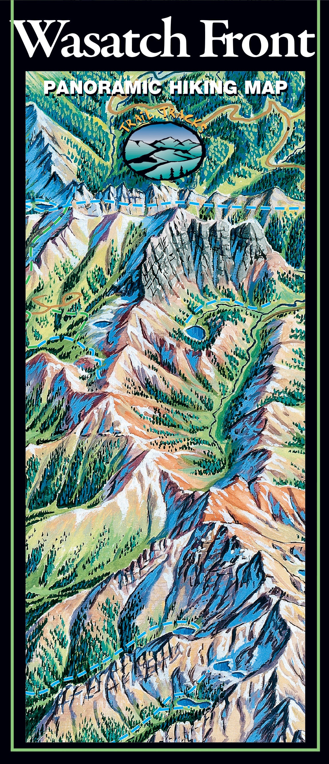
Trail Tracks maps include all of the information normally found in a full guidebook, but all on one page!
Plan your next hike in the Wasatch with Trail Tracks easy-to-use visually based maps. The illustrated format lets you see where the hike is, the type of terrain it passes through, and whether it is flat or up a hill, without having to read technical map features or topographic lines - easy hike planning all in one view!
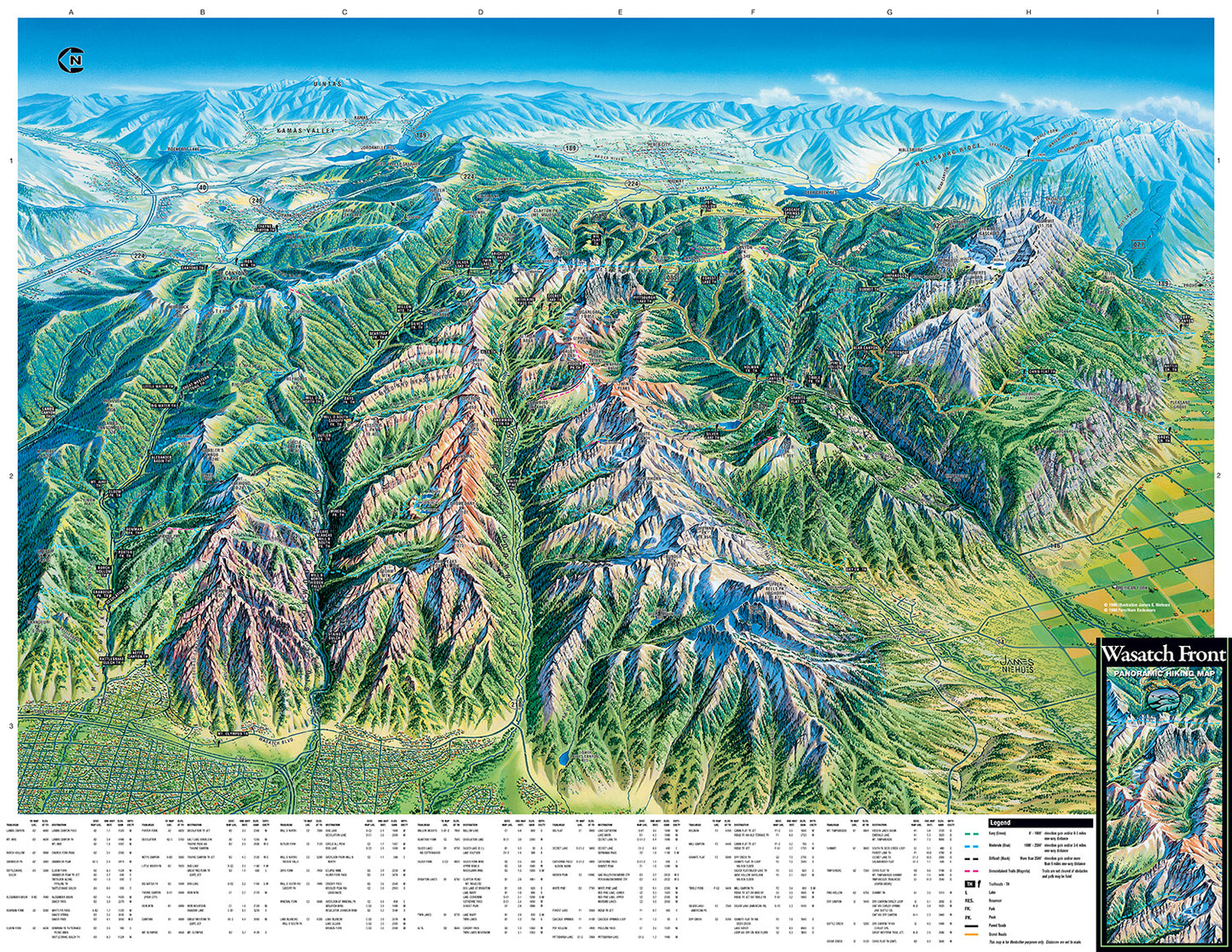
The Wasatch Front Hiking Map features:
Visual background of the incredible scenery of the Wasatch Front
196 hikes, 0.5 miles to over 18 miles long
Easy organization with hike listings organized by difficulty and by trailhead
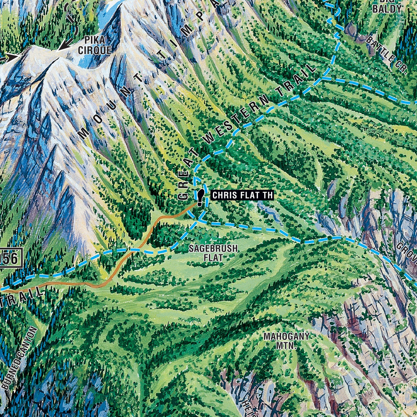
Covers the Wasatch Front from Mill Creek to Provo
Includes hikes in: Mill Creek, Big Cottonwood Canyon, Little Cottonwood Canyon, Grandeur Peak, Dry Creek Canyon, American Fork Canyon, Mt Timpanogos, Pot Hollow, Big Flat, the Great Western Trail and more!
Water-resistant durable material is perfect for your pack!
AND...Trail Tracks donates $1 to National Parks for every map sold!